Open-source server for sharing geospatial data.
Powerful flight data gathering and monitoring tool.
Allows the display and manipulation of a large number of grid/images formats.
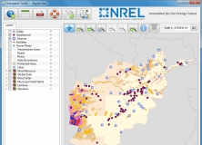
NREL-developed map-based application.
RSS is ideal for geospatial digital display as it creates symbols on-the-fly.